
How does one go about keeping track of nearly 400 submarine cable systems and over 1,000 landing stations?
Carefully, with lots of precise, year-round tracking, as it turns out.
In today's post, we're sharing secrets from our mapmakers about how our submarine cable map designs come together.
Be sure to scroll to the bottom to get a free copy of our new e-book, which goes deeper into how we make all of our maps. It also highlights some of our favorite designs from the last 20 years.
Rome Wasn't Built in a Day, and Neither Was Our Submarine Cable Map
Different maps have different timelines. For our flagship submarine cable map, it takes almost an entire year to conceptualize, design, and proof this annual piece. Collecting inspiration is 24/7 affair, but the team generally decides on a theme and aesthetic by October of a calendar year.
For the next six months, Head Designer and Cartographer Larry Lairson and Vice President of Systems and Design Markus Krisetya lead the way, drafting new takes—and often, new cables.
Leveraging the submarine cable expertise of Alan Mauldin and Tim Stronge, by the beginning of the next year a final draft takes shape. Soon after a design has the green light, we'll move the process from our Washington, DC office to Milwaukee, where most of our maps are printed.
By the spring, we have a refreshed map for the masses.
But Really. How Do You Make Your Maps?
To get a little technical, we use Adobe Illustrator to draw submarine cable paths between landing points and finesse our final designs.
We also use the GIS plugin MAPublisher from Avenza to geo-reference every piece of artwork, fusing the team's creative ideas to hard data.
In 2013, Markus and Larry cleverly began using Illustrator's Javascript API to automate labor-intensive design jobs. Many of the infographics that pop up in TeleGeography's work are generated programmatically, allotting our mapmakers more time to cook up their next big idea.
On the interactive front, landing points are geocoded on our Mercator base map, again using MAPublisher. This allows us to export two data sets: KML for the submarine cable lines, and Points for the landing points.
We upload the two datasets into Google’s Fusion Tables, a free (and experimental) feature from Google.
We use Google’s Maps API v3 to transform the Google Fusion Tables into two separate map layers of cable routes and landing points. The interactivity on the map is driven by javascript and was written in-house at TeleGeography.
If you'd like to geek out further (and who among us wouldn't?) visit our GitHub page for the Submarine Cable Map, where you can learn more about the code, see how it all works, and download the raw data.
That's Right. We Print Our Maps in Milwaukee.
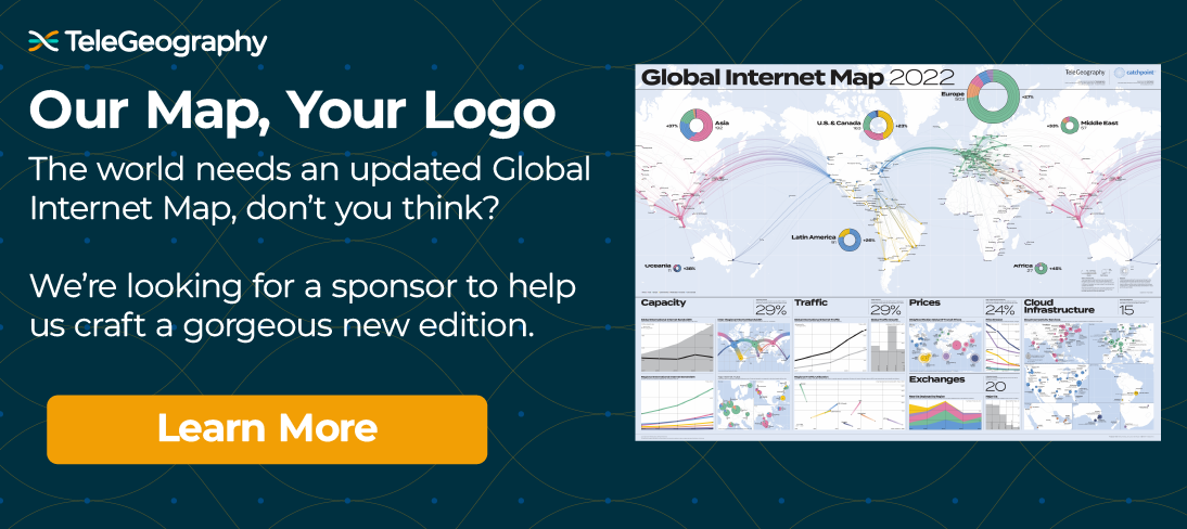
A new internet map rolls off the press.
Once our designs are finalized, TeleGeography prints the hard copies on an off-set printer. There are only a few places in the United States where there are printers large enough for our designs.
Over the years we've developed a happy collaboration with a group of printers clustered around the greater Milwaukee area. We've found paper manufacturers, paper folding companies, silkscreen companies, and many others in the area who have taken TeleGeography maps from our desktops to your walls.
With each major print run, a TeleGeographer travels to Wisconsin to do a press check, in which we review the output of the printer as it rolls out off the press. You can read more about it in this interview with Markus.
We Have an Entire Ebook About Our Maps
This free e-book is a collection of our favorite—and most famous—maps from the last two decades.
Inside you’ll find early editions of our famed Submarine Cable Map, Global Internet Map, Global Voice Traffic Map, and specialty regional designs that zero in on connectivity in specific parts of the world.
We’re also using this e-book to share insight from the experts who painstakingly craft these art pieces every year, as well as the companies and telecom professionals we’ve partnered with to make many of these maps possible.

Alan Mauldin
Alan Mauldin is a Research Director at TeleGeography. He manages the company’s infrastructure research group, focusing primarily on submarine cables, terrestrial networks, international Internet infrastructure, and bandwidth demand modeling. He also advises clients with due diligence analysis, feasibility studies, and business plan development for projects around the world. Alan speaks frequently about the global network industry at a wide range of conferences, including PTC, Submarine Networks World, and SubOptic.

Tim Stronge
Tim Stronge is VP of Research at TeleGeography. His responsibilities span across many of our research practices including network infrastructure, bandwidth demand modeling, cross-border traffic flows, and telecom services pricing.